
The shore as locals call it is the Delaware bay that lands in-between New Jersey and Delaware. Eventually The Delaware Bay leads into the Atlantic Ocean which is what is considered the Coast. The Coast is Delaware’s bread and butter when it comes to tourism. That includes the beaches of Lewes, Rehobeth, Dewey, Bethany, the Inlet and Fenwick. Most of the time the bay is passed by visitors and not seen, except by car. The shore actually covers more of Delaware than our smaller coastal area. A good 70% of Delaware coastal area is the bay and a good portion of it is protected wildlife refuges to protect much needed plant and animal habitats. This project is to show people that there is much more to Delaware than just the ocean beaches. Many of these areas are not even visited by locals and can easily be found if searched on a map.

“Reedy Point Bridge”
Reedy Point Bridge on route 9 is the first bridge you pass directly over the bay after entering Delaware on your way down south.

“Diving Board”
Augustine Beach is your first actual beach spot on the way down the state, though normally used as a fishing area it is the local favorite hang out spot.

“Dole Moon”
Cargo ships can be seen day and night coming and going from Augustine Beach area.

“Woodland Pier”
Woodland beach has a very popular local fishing pier open 24/7 for people to enjoy.
“Nuclear Clouds”
On clear days in Woodland Beach you can see clear across to New Jersey’s shoreline that share the Bay with Delaware.

“Bombay Flowers”
As you are driving through the park at Bombay Hook both sides of most of the roads are surrounded by water that lead to the bay and are thriving with life all year round.

“Reflection Pools”
These reflection pools at Bombay hook wildlife refugee that are visited by many different migratory birds that visit Delaware a few different times of years.

“Marine Dock”
These fishing boats in Leipsic stock many local restaurants with fresh seafood daily.

“Boat Mess”
The inside of the fishing boats have a lot to be desired but the people who run these fishing boats make it happen everyday.
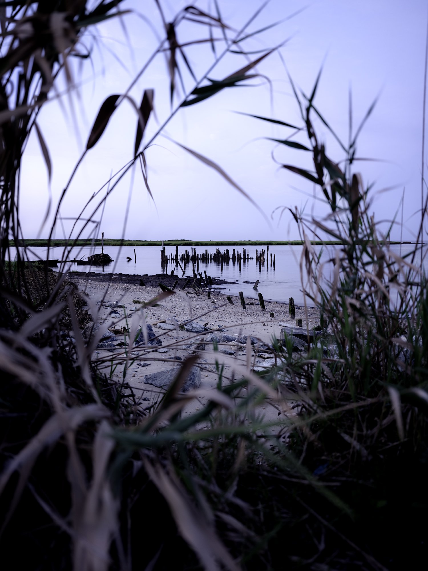
“Old Walkways”
Many spots in Delaware have left over wood and areas where old piers and docks used to exist.

“Fishing Boats”
“Commercial boats are a constant when traveling to different parts of the Delaware shore even in some wildlife refugees like Port Mahon”

“Cloudy Reflections”
Waters leading to the Delaware Bay are slow moving similar to southern Delaware style of life (Slower Lower Delaware).

“Blue Bay”
Sunset at these bay beaches are calming and the perfect way to end the day, this specific sunset is at Pickering Beach.

“Grassy Entrance”
After traveling halfway thought the state you get to Kitts Hummock beach where you start seeing many small housing communities that line these tiny shore beaches.

“Lines in the Sand”
These lines on the sand are created by slow moving waves as the water slowly retreats into the bay from lowering tides.

“Marsh Waterway”
This is a marsh waterway, these waterways can be seen all over southern Delaware when driving on RT 1 or nearby roads that all end up entering into the bay at some point, there are many bridges that go over these on the way to the tourist beaches.

“Blue Water”
You will find many houses on the waterways that head towards the bay along with plenty of bridges locals use to fish off of.

“Stormy Port”
Pop up thunder storms and coastal flooding are always a problem especially in South Bowers, this leaves people who live there without ways of leaving the town most times.

“Bennetts Drive”
Beach driving access points are common for lower state bay areas as a lot of them are owned locally. The State will put up blocks to stop people from driving on these beach but locals will tear them down.

“Flooded Sunset”
Sunsets after the storms makes being stuck in the house worth it.